The Best River Photo Spots around Kootenay Plains Ecological Reserve in Canada
Explore River pictures of Kootenay Plains Ecological Reserve with the travel spots on a map
Download the Travel Map of Canada on Google Maps here
7 River Spots of Kootenay Plains Ecological Reserve on a Map
Pictures of River on the interacive map of Kootenay Plains Ecological Reserve
Download On Google Maps 🗺️📲River Spots and Pictures around Kootenay Plains Ecological Reserve
Discover popular destinations in Kootenay Plains Ecological Reserve with their travel guides
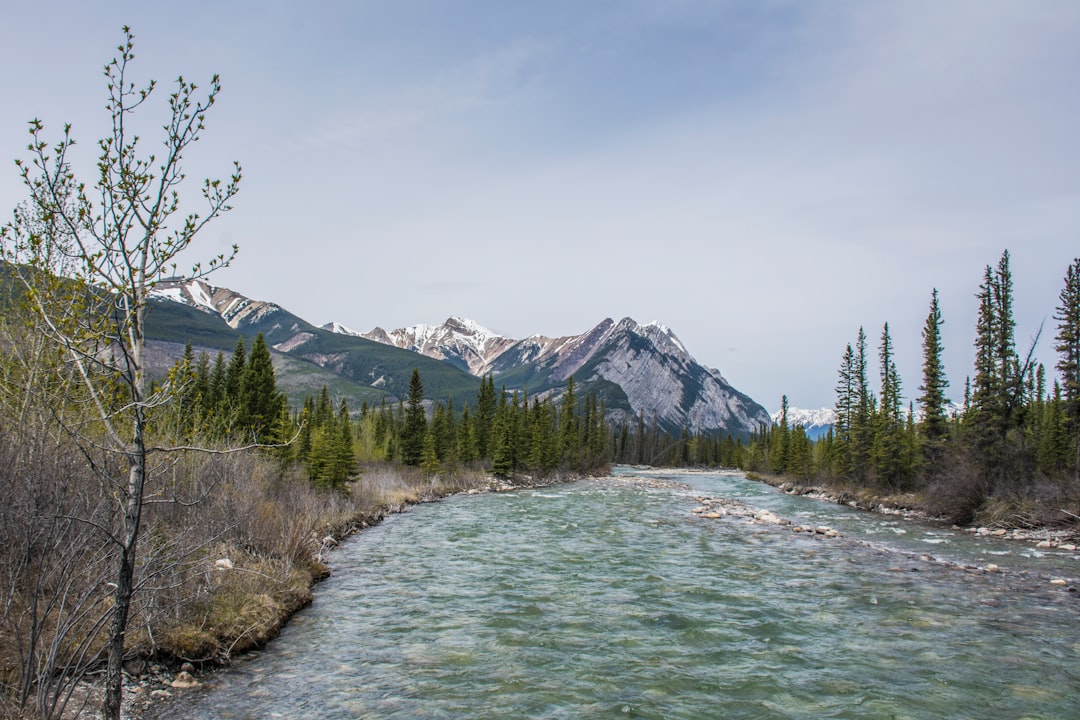
Kootenay Plains Ecological Reserve
Read the Travel guide View on Google Maps
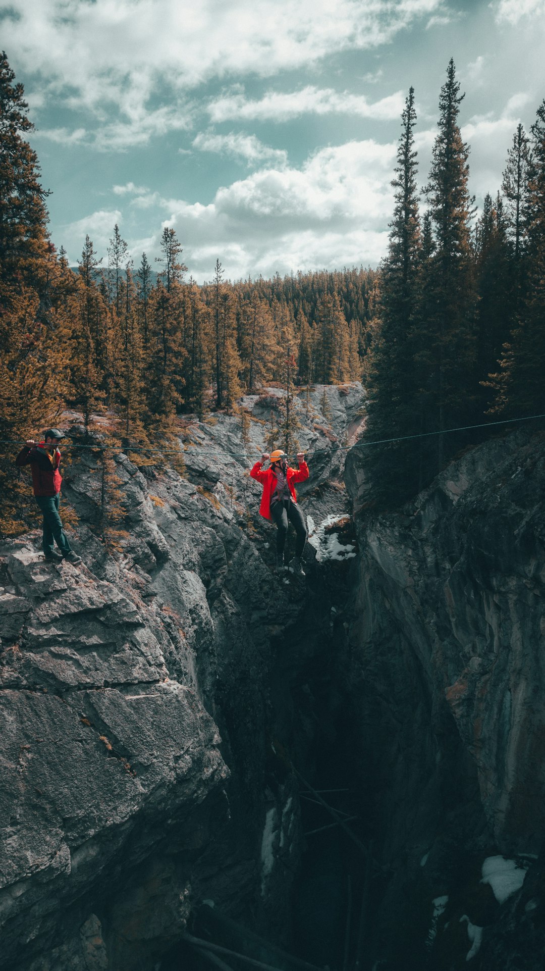
Siffleur River
3 km away from Kootenay Plains Ecological Reserve
Read the Travel guide View on Google Maps
Unnamed Road
15 km away from Kootenay Plains Ecological Reserve
Read the Travel guide View on Google Maps
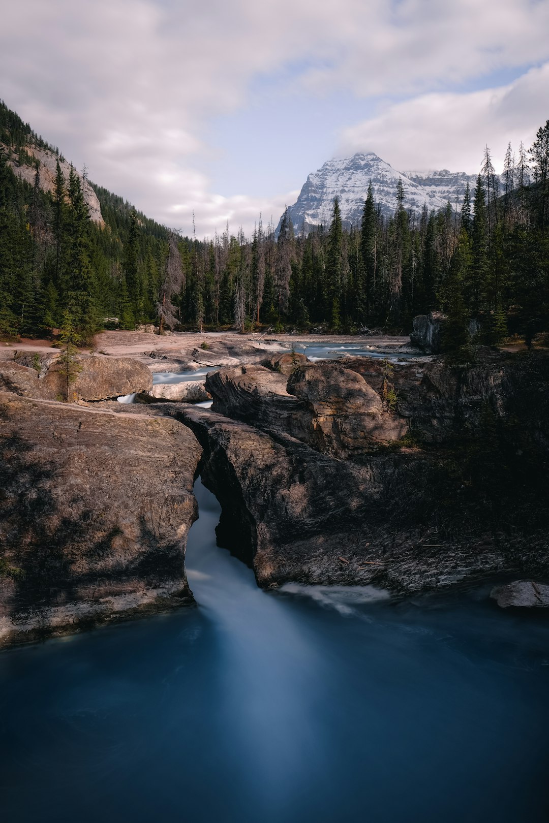
Yoho National Park
65 km away from Kootenay Plains Ecological Reserve
Read the Travel guide View on Google Maps
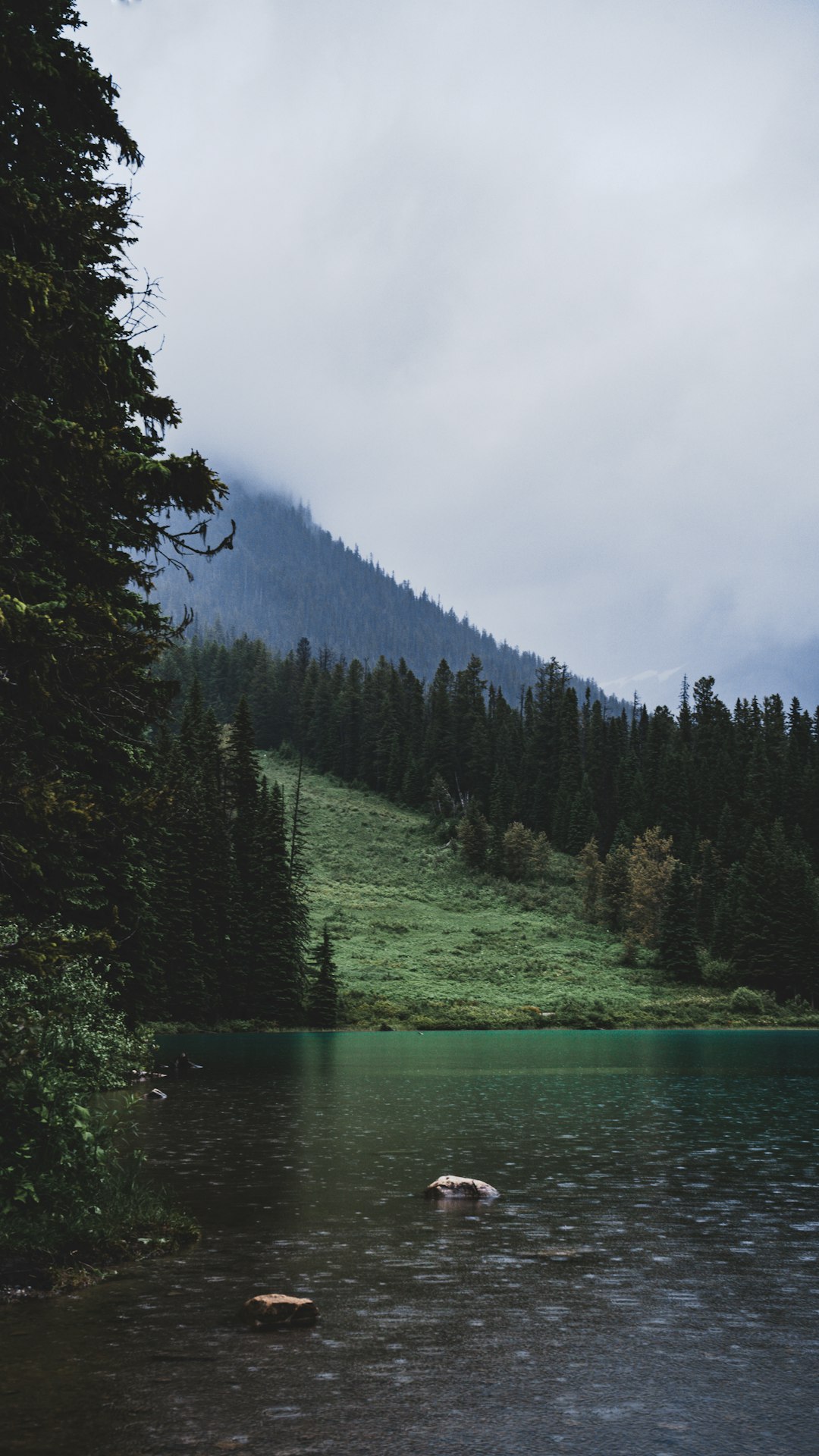
Emerald Lake
67 km away from Kootenay Plains Ecological Reserve
Read the Travel guide View on Google Maps

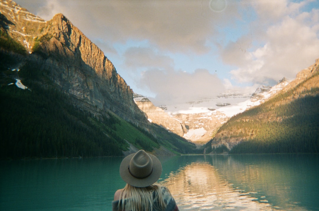
Lake Louise
70 km away from Kootenay Plains Ecological Reserve
Read the Travel guide View on Google Maps

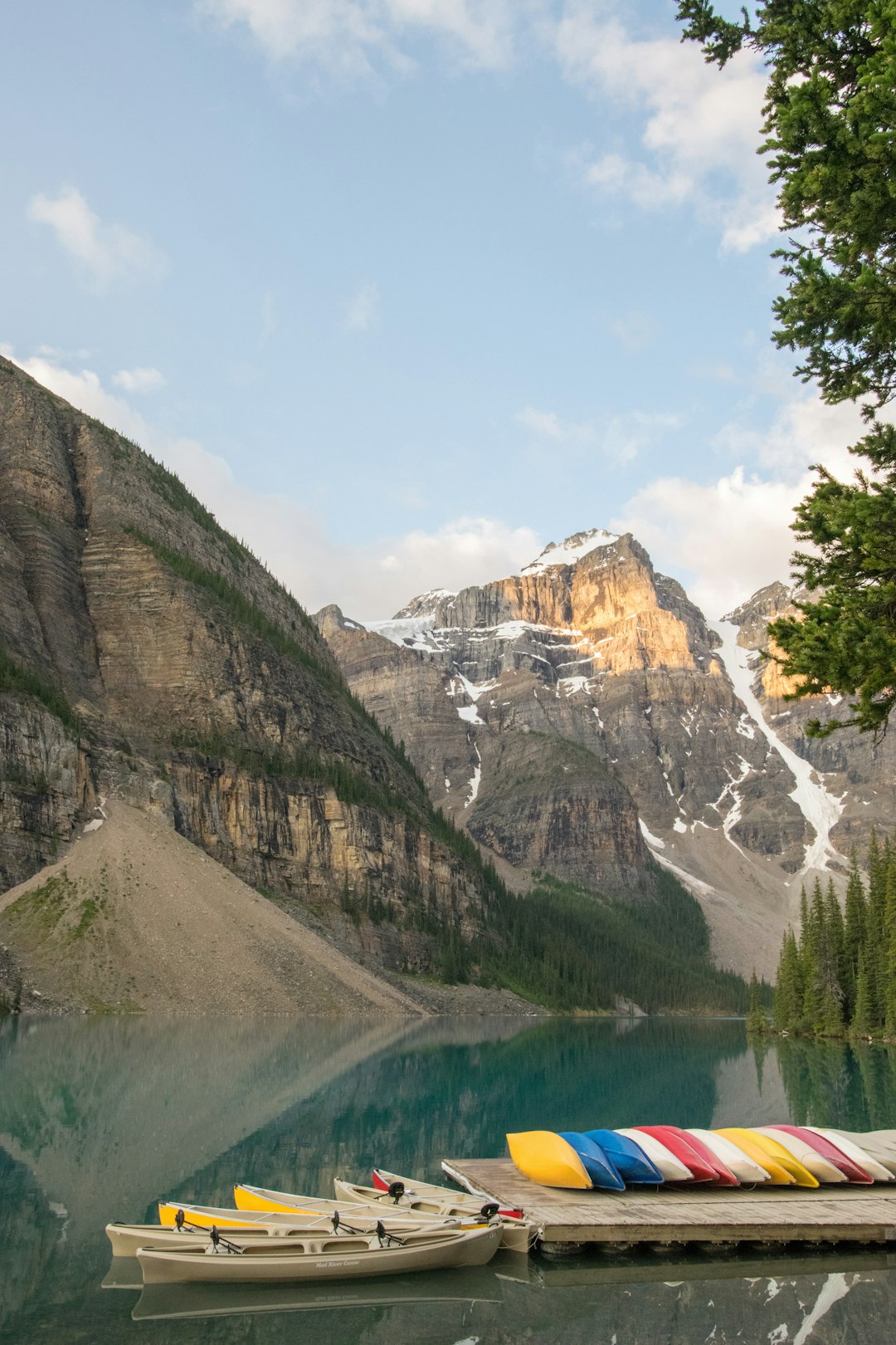
Moraine Lake
81 km away from Kootenay Plains Ecological Reserve
Read the Travel guide View on Google Maps
Book your Travel Experience in Kootenay Plains Ecological Reserve
Discover the best tours and activities in Kootenay Plains Ecological Reserve and book your travel experience today with our booking partners
Learn More about Kootenay Plains Ecological Reserve
Find Hotels in Kootenay Plains Ecological Reserve
Discover the best hotels around Kootenay Plains Ecological Reserve, Canada and book your stay today with our booking partner booking.com